For updates on the heavy rainfall and current evacuations, please visit santaclaritaemergency.com
Who Needs to Be Prepared?
This website is dedicated to provide vital tips and information for Santa Clarita residents that live or work near fire burn areas that may be susceptible to mud or debris flows during heavy rains. However, we encourage all residents to use this website to learn about what to do before, during and after inclement weather such as heavy winds or rains.
Since recently burned areas do not have matured vegetation, the top soil can wash off and potentially create destructive mudflow downslope from fire burn areas.
For the next three to five years, the fire has made homes in following burn areas susceptible to sudden water, mud and debris slides.
Where Are the Fire Burn Areas in Santa Clarita?
On October 24, 2019, the Tick Fire started near Tick Canyon Road, traveled parallel to the southbound Antelope Valley (14) freeway and burned more than 4,000 acres.
On July 22, 2016, the Sand Fire started near the Sand Canyon Road along the northbound Antelope Valley (14) freeway and burned more than 41,000 acres.
On June 24, 2015, the Calgrove Fire burned more than 400 acres off Calgrove Boulevard and in the Wildwood Canyon area extending south to the Newhall Pass.
Important Tips for Residents Living Near Burn Areas
- Sign up to receive emergency alerts
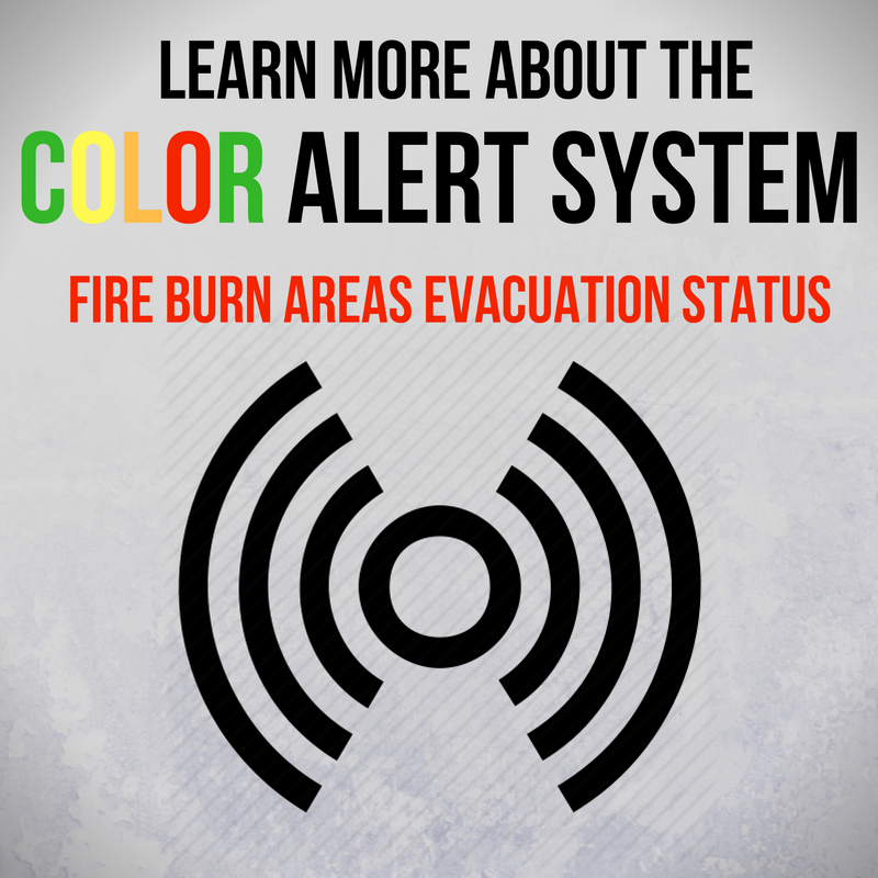
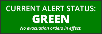
- Familiarize yourself with the Color Alert System which indicates the evacuation phase in your area
- Review the Frequently Asked Questions for Fire Burn Areas
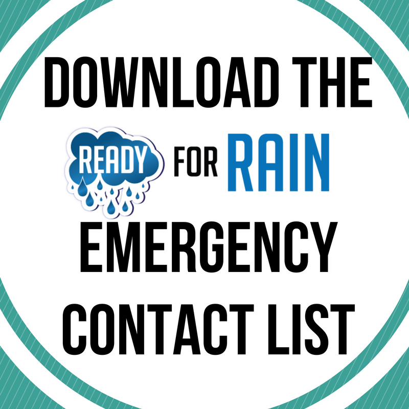
- Download and print the Rain Emergency Contact List pdf
- Review Mudflow/Debris Flow Forecast from the Los Angeles County: Read an update or sign up to receive email updates
- Read the Debris Flow Survival Guide from the National Weather Service